Embalse Chironta – The Hidden Andean Dam That Should Be on Your Chile Travel List
If you think Chile is only about deserts, glaciers, and wine, think again. Tucked in the high‑altitude plateau of Putre, the Embalse Chironta dam offers a striking blend of engineering marvel, breathtaking scenery, and authentic Andean culture. Whether you’re a road‑trip enthusiast, a photography lover, or simply hunting off‑the‑beaten‑path experiences, this 90‑meter‑tall reservoir is a must‑visit.
1. Introduction
Imagine standing on the edge of a crystal‑blue lake, its waters held back by a sleek concrete wall that rises 90 metres into the sky. Behind you, the rugged peaks of the Arica y Parinacota region stretch toward a thin, bright sun. This is Embalse Chironta, a dam that may not appear on mainstream travel itineraries, but promises unforgettable moments for anyone willing to venture north of Chile’s famous Atacama Desert.
In this guide we’ll explore the dam’s background, how to reach it, the best seasons to visit, what you’ll see on site, nearby attractions, and practical tips to make your trip smooth and safe. Let’s dive in!
2. About Embalse Chironta
A Brief Description
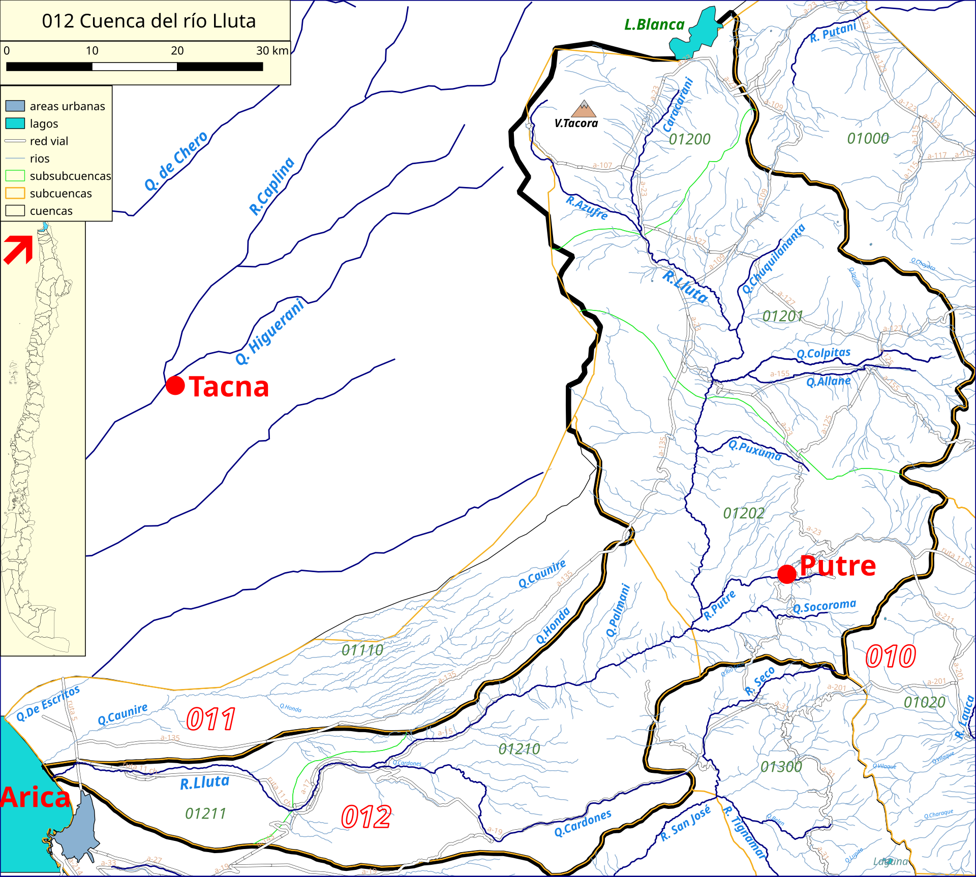
- Location: Putre, Arica y Parinacota, Chile
- Coordinates: -18.309858 ° S, -69.754121 ° W
- Height: 90 m (≈295 ft)
- Type: Concrete dam (embalse)
Embalse Chironta is a dam that creates a sizable reservoir in the high Andean plateau of northern Chile. While the exact altitude of the water surface isn’t publicly listed, the surrounding town of Putre sits at roughly 3,300 m (10,800 ft) above sea level, meaning the dam itself is perched at a lofty elevation that offers thin, crisp air and spectacular panoramic views.
History & Significance
The dam was built as part of regional water‑management projects aimed at securing water for agriculture, livestock, and local communities in the arid Altiplano. Its 90‑meter wall not only stores vital water but also helps regulate flow for downstream ecosystems. Because the area is sparsely populated, Embalse Chironta remains largely untouched by mass tourism, preserving its natural charm and making it an authentic glimpse into Chile’s Andean infrastructure.
Beyond its functional role, the reservoir has become an informal gathering spot for locals and adventurous travelers. The tranquil surface reflects the sky and surrounding volcanoes, creating photo‑opportunities that rival those of more famous Chilean landmarks—without the crowds.
3. How to Get There
By Air
The nearest commercial airport is El Alto International Airport (CJC) in Calama, about 250 km (155 mi) to the south. From Calama, you can rent a 4×4 vehicle or join a guided tour heading north toward Putre.
By Bus
Long‑distance bus companies such as Tur Bus and Pullman Bus run regular services from Calama and San Pedro de Atacama to Putre. The journey takes roughly 5–6 hours, crossing the dramatic desert‑to‑highland transition.
From Putre to the Dam
- Distance: ~0.1 km (the dam sits just on the outskirts of town)
- Road condition: A paved local road leads directly to a small parking area near the reservoir.
- Navigation tip: Input the coordinates -18.309858, -69.754121 into your GPS or Google Maps for pinpoint accuracy.
Recommended Transport
Because the site is close to town, a taxi or rented scooter is sufficient. If you plan to explore surrounding attractions (see Section 6), a sturdy 4×4 vehicle will give you flexibility on unpaved roads.
4. Best Time to Visit
| Season | Weather | Visitor Experience |
|---|---|---|
| Spring (September‑November) | Mild days (10‑18 °C), occasional rain | Ideal for photography; flora starts to bloom. |
| Summer (December‑February) | Warm, sunny, occasional strong winds | Best for water‑related activities; longer daylight. |
| Autumn (March‑May) | Cool evenings, clear skies | Great for stargazing; fewer tourists. |
| Winter (June‑August) | Cold (below 0 °C at night), possible snow | Dramatic snow‑capped scenery, but road access may be limited. |
Top recommendation: Late spring (October‑early November) offers comfortable temperatures, clear skies, and vibrant colors without the high‑altitude chill of winter.
Note: The Altiplano can experience rapid weather changes. Always check the forecast before heading out, especially during the rainy season (December‑January).
5. What to Expect
Scenic Highlights
- Panoramic Views: From the dam’s edge, you can see the Andean volcanic chain, including the iconic Parinacota and Pomerape peaks.
- Mirror‑Like Waters: On calm days, the reservoir reflects the sky, creating a perfect natural mirror for landscape photography.
- Wildlife: Look out for Andean flamingos, guanacos, and high‑altitude birds that frequent the water’s edge.
Activities
- Photography & Sunset Watching: The dam’s concrete silhouette against a colorful sky makes for dramatic shots.
- Short Walks: A modest trail circles part of the reservoir, offering different viewpoints without demanding high fitness levels.
- Cultural Interaction: The nearby town of Putre hosts weekly mercados (markets) where you can sample local alpaca cheese, quinoa, and handcrafted textiles.
Facilities
- Parking: Small free lot near the dam.
- Restrooms: Basic facilities are available; bring hand sanitizer.
- Food: No permanent eateries at the dam itself, but Putre’s town center (a 5‑minute walk) offers cafés and restaurants serving traditional Chilean dishes.
6. Nearby Attractions
While Embalse Chironta is the star of the day, the surrounding area offers several points of interest that can be combined into a full‑day itinerary:
| Attraction | Distance from Embalse Chironta | Type | Quick Link |
|---|---|---|---|
| Nearby Dam | 0.1 km | Dam | Explore |
| Local Weir | 2.6 km | Weir | Explore |
| Mountain Fountain | 24.1 km | Fountain | Explore |
| Second Weir | 47.3 km | Weir | Explore |
| Cross‑Border Fountain (Tacna, Peru) | 60.2 km | Fountain | Explore |
Because many of these sites are small infrastructure works rather than tourist attractions, they are best visited for a quick photo stop or to appreciate the region’s water‑management network.
Bonus suggestion: If you have extra time, drive to Laguna Lejía (≈70 km) for a high‑altitude lake with striking turquoise waters, or venture further north to the Salar de Tara for surreal salt‑flat landscapes.
7. Travel Tips
| Tip | Details |
|---|---|
| Acclimatize | Putre sits above 3,000 m. Spend at least a night in town, hydrate, and avoid heavy exertion on the first day. |
| Sun Protection | UV radiation is intense at altitude. Wear sunscreen, sunglasses, and a hat. |
| Dress in Layers | Temperatures can swing from warm daytime to chilly evenings. A lightweight jacket is essential. |
| Cash | Small towns may not accept cards everywhere. Carry Chilean pesos for market purchases and taxi rides. |
| Language | Spanish is the primary language. Basic phrases like “¡Hola!” and “¿Cuánto cuesta?” go a long way. |
| Connectivity | Mobile coverage is limited; download offline maps (Google Maps/Maps.me) before you leave. |
| Respect the Environment | Pack out any trash, stay on designated paths, and avoid disturbing wildlife. |
| Safety | Roads can be gravelly. Drive cautiously, especially after rain when dust can reduce visibility. |
| Photography Gear | A wide‑angle lens captures the expansive landscape; a polarizing filter reduces glare on the water. |
| Local Cuisine | Try cazuela de llama (llama stew) and cuy (guinea pig) for authentic Andean flavors. |
Final Thoughts
Embalse Chironta may not have the fame of Chile’s Patagonian glaciers or the Atacama’s salt flats, but its combination of engineering intrigue, high‑altitude serenity, and cultural authenticity makes it a hidden gem worth the journey. By planning ahead, respecting the environment, and embracing the rugged beauty of the Arica y Parinacota region, you’ll walk away with vivid memories—and perhaps a few stunning photos of a dam that stands as a quiet sentinel over the Andean sky.
Pack your bags, charge your camera, and let the road to Putre lead you to one of Chile’s most underrated travel experiences. Safe travels!