Discover the Hidden Gem of Languedoc‑Roussillon: Barrage de Cambous
If you think the French countryside is only about vineyards and medieval villages, think again. Nestled in the rolling hills of Branoux‑les‑Taillades, the Barrage de Cambous offers a tranquil escape for nature lovers, photographers, and anyone seeking a slice of authentic rural France.
1. Introduction
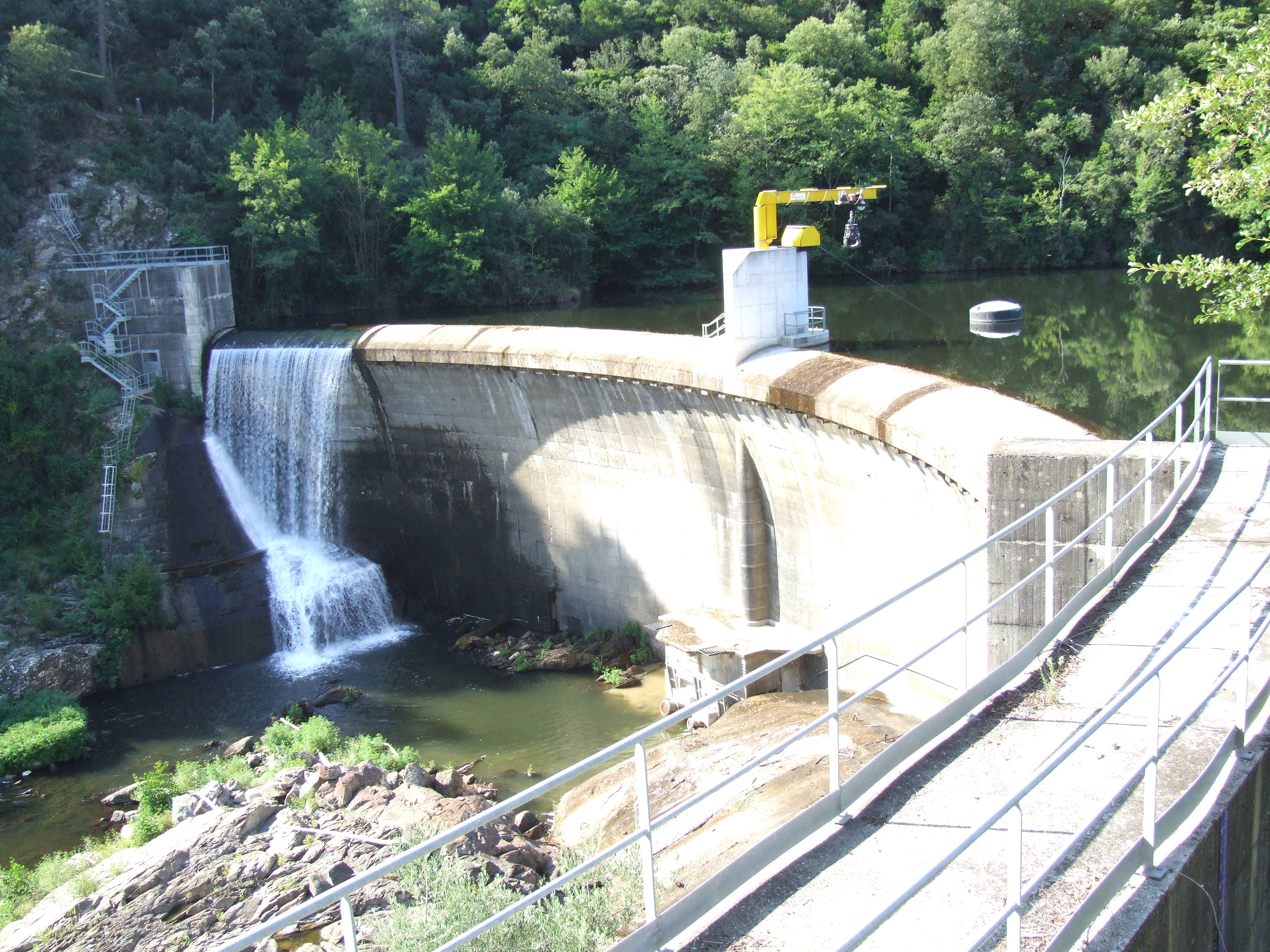
Imagine a sleek concrete wall rising 25 meters above a crystal‑clear mountain stream, framed by pine‑clad slopes and the distant silhouette of the Cévennes. This is the Barrage de Cambous, a modest yet striking dam that quietly regulates the waters of the Gard department in the heart of Languedoc‑Roussillon. While it may not have the fame of the massive dams of the Alps, Cambous holds its own charm: a perfect spot for a day‑trip, a picnic, or a photography session bathed in golden sunrise light.
In this guide, we’ll walk you through everything you need to know to make the most of a visit to this hidden French treasure—from its history and how to get there, to the best season for a visit and nearby attractions you can explore on foot or by bike.
2. About Barrage de Cambous
A Brief Description
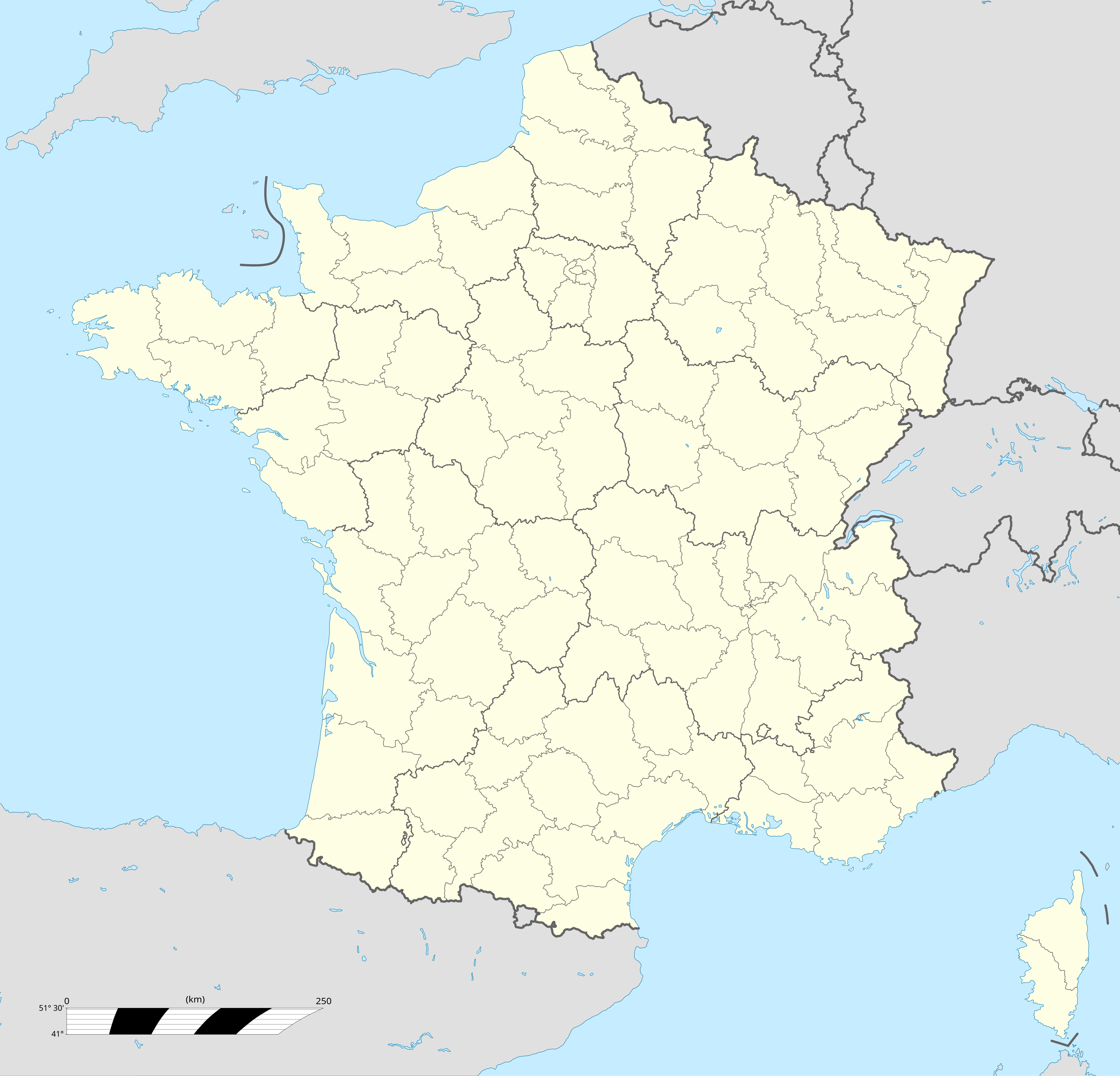
- Location: Branoux‑les‑Taillades, Gard, Languedoc‑Roussillon, France
- Coordinates: 44.233304 N, 3.986871 E
- Height: 25 m (≈ 82 ft)
- Type: Concrete gravity dam (primary function: water regulation and flood control)
The dam sits at an altitude that is not officially published, but the surrounding landscape sits roughly between 300 m and 500 m above sea level, giving the reservoir a gentle, reflective surface that mirrors the sky and the surrounding oak‑filled hills.
History & Significance
Built in the mid‑20th century as part of a regional water‑management program, the Barrage de Cambous was designed to protect the downstream villages from sudden flood spikes while ensuring a reliable water supply for agriculture and local communities. Its construction reflected the post‑war push to modernize rural infrastructure across France, a movement that transformed many isolated valleys into thriving agricultural zones.
Although the dam’s primary purpose is utilitarian, it has become an integral part of the local ecosystem. The reservoir supports a modest fish population and provides a watering point for wildlife, making it a subtle hotspot for birdwatchers and nature photographers.
Why It Matters to Travelers
For travelers, the Barrage de Cambous offers more than a functional piece of engineering—it serves as a quiet, scenic viewpoint that contrasts sharply with the bustling tourist centers of the French Riviera. Its low‑traffic location means you can enjoy uninterrupted moments of peace, and the surrounding trails invite you to explore the natural beauty of the Cévennes National Park fringe.
3. How to Get There
By Car
The most convenient way to reach the dam is by car. From Nîmes, take the A9 motorway east toward Montpellier, then exit onto D907 toward Alès. Follow signs for Branoux‑les‑Taillades (approximately 55 km, 1‑hour drive). Once in the village, turn onto the D31 road heading north; the dam is signposted a few kilometers after the village center. Parking is available in a small lot near the dam’s visitor area (free of charge).
By Public Transport
- Train: The nearest TER (regional train) station is Alès, served by lines from Nîmes, Montpellier, and Avignon.
- Bus: From Alès, catch the Line 210 bus toward Branoux‑les‑Taillades (check the latest schedule on the Languedoc‑Roussillon Mobilités website). The bus drops you off at the village square; from there, it’s a 15‑minute walk or a short bike ride to the dam.
By Bike or Hiking
For the adventurous, the GR 70 (the “Chemin de Stevenson”) passes near Branoux‑les‑Taillades. You can detour onto local forest trails that lead directly to the dam, offering a rewarding off‑road experience with stunning vistas.
4. Best Time to Visit
| Season | Weather | What to Expect | Why It’s Ideal |
|---|---|---|---|
| Spring (Mar‑May) | Mild (12‑18 °C), occasional showers | Blooming wildflowers, vibrant green hills, lower crowds | Perfect for photography and picnics |
| Summer (Jun‑Aug) | Warm (20‑30 °C), dry | Longer daylight, swimming-friendly reservoir | Ideal for families and water‑play (note: swimming may be restricted) |
| Autumn (Sep‑Nov) | Cool (15‑22 °C), golden foliage | Rich autumn colors, harvest festivals in nearby villages | Great for hiking and cultural immersion |
| Winter (Dec‑Feb) | Cold (5‑10 °C), occasional frost | Quiet, misty mornings, fewer visitors | Best for solitude and bird‑watching |
Overall, late spring (April‑May) and early autumn (September‑October) strike the perfect balance of pleasant weather, vivid scenery, and manageable visitor numbers.
5. What to Expect
The Landscape
Approaching the Barrage de Cambous, you’ll first notice the dam’s clean, white concrete façade juxtaposed against the dark, reflective water of its reservoir. A short walk along the paved promenade offers panoramic views of the surrounding Cévennes foothills, dotted with chestnut trees and grazing lambs.
Activities
- Photography: Sunrise over the dam creates a striking silhouette; the water’s mirror‑like surface captures reflections of the sky and nearby cliffs.
- Picnicking: Benches and grassy patches near the water make ideal spots for a French‑style picnic (don’t forget a baguette, cheese, and local rosé).
- Birdwatching: Look for kingfishers, grey herons, and, in the spring, migratory warblers that stop by the reservoir.
- Walking & Hiking: Trail markers lead from the dam toward the Evacuateur de crue (another small dam) and several natural springs, offering a gentle 2‑km loop suitable for all ages.
Facilities
- Parking: Small free lot (approx. 20 spaces).
- Restrooms: Portable toilets near the visitor board.
- Information Board: Provides a brief history and safety guidelines.
6. Nearby Attractions
While the dam itself is a highlight, the surrounding area offers several hidden natural attractions within a short radius—perfect for a day‑long itinerary.
| Attraction | Distance | Type | Quick Info |
|---|---|---|---|
| Evacuateur de crue | 1.1 km | Dam | A functional flood‑evacuation structure; great for a quick photo stop. |
| [Unnamed Dam] | 1.1 km | Dam | Small concrete dam tucked in the valley; offers a different perspective of the local water management system. |
| [Spring] | 1.5 km | Spring | Freshwater spring surrounded by limestone rocks—ideal for a short nature walk. |
| [Spring] | 1.8 km | Spring | Another crystal‑clear spring, often visited by local hikers. |
| [Fountain] | 2.3 km | Fountain | Rustic stone fountain in a meadow; perfect for a quiet moment of reflection. |
Tip: Use a GPS app and input the coordinates 44.233304, 3.986871 to navigate directly to the dam, then follow local signage to each nearby spot.
7. Travel Tips
| Tip | Details |
|---|---|
| Bring Cash | Small villages may have limited card‑payment options. |
| Dress in Layers | Weather can shift quickly, especially in the hills. |
| Pack a Picnic | There are no cafés directly at the dam; a packed lunch lets you enjoy the scenery. |
| Respect the Environment | Stay on marked paths, avoid littering, and keep a safe distance from wildlife. |
| Check Dam Regulations | Swimming may be prohibited for safety; always follow posted signs. |
| Stay Connected | Mobile coverage can be spotty; download offline maps (Google Maps, Maps.me) before you go. |
| Timing | Arrive early (7‑8 am) in summer to avoid the occasional influx of local school groups. |
| Local Events | The nearby village of Branoux‑les‑Taillades hosts a summer fête in July; consider timing your visit to enjoy regional music and food. |
8. Final Thoughts
The Barrage de Cambous may not be on every travel itinerary, but that’s precisely why it deserves a spot on yours. It offers a rare blend of engineering history, serene natural beauty, and authentic rural French atmosphere—all within a short drive from the bustling cities of Nîmes and Montpellier. Whether you’re a photographer chasing the perfect light, a family looking for a low‑key day out, or a hiker eager to explore the lesser‑known trails of Languedoc‑Roussillon, Cambous welcomes you with open arms and a quiet, reflective surface.
So pack your camera, fill that picnic basket, and set your GPS for 44.233304 N, 3.986871 E. The dam is waiting, and the hills of the Cévennes are ready to share their secrets.
Happy travels!