Presa de Hidro Ituango: Colombia’s Hidden Hydro‑Power Jewel
If you think Colombia’s travel bucket list is limited to coffee farms, colonial towns, and Caribbean beaches, think again. Nestled high in the rugged Andes of Antioquia, the Presa de Hidro Ituango (also known as Hidroituango) offers an unforgettable blend of engineering marvel, dramatic landscape, and off‑the‑beaten‑path adventure.
1. Introduction
Imagine standing on a concrete wall that stretches across a roaring river, the mist of the Cauca River swirling around you while the Andean peaks loom in the distance. That’s the feeling you get at Presa de Hidro Ituango, the largest hydro‑electric dam in Colombia and a rising star for eco‑adventurers and photography lovers alike.
Beyond its massive turbines, the dam is a gateway to pristine waterfalls, hidden springs, and the raw beauty of Antioquia’s interior. Whether you’re a civil‑engineering enthusiast, a nature photographer, or a traveler hunting “secret” spots, Hidro Ituango deserves a place on your itinerary.
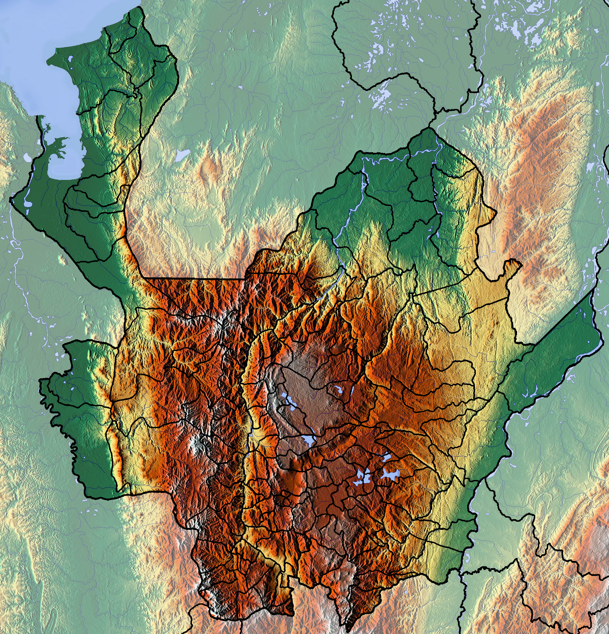
2. About Presa de Hidro Ituango
- Location: Ituango, Antioquia, Colombia
- Coordinates: 7.135184 ° N, ‑75.661479 ° W
- Type: Concrete gravity dam (hydroelectric)
The project began in the early 2010s as part of Colombia’s push for renewable energy. Built on the Cauca River, the dam is operated by Empresas Públicas de Medellín (EPM) and is slated to generate more than 2,400 MW—enough to power millions of homes.
While the exact height of the structure remains undisclosed, its sheer scale is evident from the expansive reservoir that stretches for kilometers upstream. The dam’s construction sparked intense engineering challenges, including landslide mitigation and river‑flow management, making it a case study in modern hydro‑power design.
Beyond electricity, Hidro Ituango has become a symbol of Antioquia’s development and a new point of interest for sustainable tourism. The reservoir’s turquoise waters reflect the surrounding cloud forests, creating a photogenic backdrop that rivals any Caribbean beach—if you’re willing to venture inland.
For a deeper dive into the dam’s history, check out the Spanish‑language Wikipedia entry: Hidroituango (es).
3. How to Get There
By Air
- Fly to Medellín (MDE – José María Córdova International Airport).
- From Medellín, rent a 4×4 vehicle or join a guided tour. The journey to Ituango takes roughly 4–5 hours on winding mountain roads (Route 25 → Route 62).
By Bus
- Medellín → Ituango: Long‑distance buses depart daily from the Terminal de Transporte de Medellín. The ride is about 5 hours, with scenic stops in Santa Fe de Antioquia and the town of Concepción.
By Car
- Driving directions:
- Exit Medellín via Autopista del Café (Route 25) toward Rionegro.
- Continue on Route 62, following signs for Ituango.
- The final stretch includes steep ascents; a vehicle with good ground clearance is recommended.
Parking & Access
A modest parking lot sits near the dam’s visitor area. From there, a short, well‑marked trail leads to viewpoints overlooking the reservoir and the concrete wall.
4. Best Time to Visit
| Season | Weather | Visitor Experience |
|---|---|---|
| Dry Season (December – March, July – August) | Clear skies, lower humidity, cooler mornings | Ideal for photography, hiking, and panoramic views of the reservoir. |
| Rainy Season (April – June, September – November) | Frequent showers, misty valleys | Waterfalls swell, creating spectacular cascades—great for waterfall‑hunting, but some access roads may be slick. |
Tip: The dry months of January–February and July usually offer the most reliable road conditions and the clearest vistas of the dam and surrounding peaks.
5. What to Expect
The Visual Impact
- The Dam: A massive concrete wall stretching across the river, punctuated by spillways and turbine housings.
- The Reservoir: A glass‑like lake that mirrors the Andes, perfect for sunrise shots.
- The Landscape: Steep, forest‑clad slopes that descend into the water, with occasional cloud‑breaks that let sunlight dance across the surface.
Activities
- Guided Tours: EPM occasionally offers short tours explaining the dam’s operation, safety measures, and environmental impact.
- Photography: Sunset over the reservoir, long‑exposure shots of the water flow, and panoramic panoramas of the Andean ridge.
- Hiking: Small, maintained paths lead to observation decks; more adventurous trekkers can explore nearby forest trails (always check local conditions).
Amenities
- Restrooms: Basic facilities near the parking lot.
- Food: No permanent restaurants on site, but small “tiendas” in Ituango town serve typical Antioquian dishes—arepas, bandeja paisa, and fresh fruit juices.
6. Nearby Attractions
After soaking in the engineering wonder of Hidro Ituango, venture a short drive to discover some of Antioquia’s most captivating natural sites. All distances are measured from the dam’s visitor center.
| Attraction | Type | Distance | Why Visit |
|---|---|---|---|
| Cascada (Waterfall) | Waterfall | 27.2 km | A secluded cascade hidden in a tropical forest—perfect for a refreshing dip. |
| Charco Las Juntas | Spring | 28.5 km | Crystal‑clear spring water pools framed by mossy rocks; ideal for picnics. |
| Cascada Santa Barbara | Waterfall | 28.7 km | A multi‑tiered waterfall that creates a natural curtain—great for photo backdrops. |
| Cascada La Serena‑El Chaquiro | Waterfall | 46.8 km | Known for its powerful flow and surrounding cloud‑forest trails. |
| Cascadas San Pedro | Waterfall | 52.0 km | A series of smaller falls along a scenic river corridor, perfect for a day‑long hike. |
All attractions are reachable via the same mountain roads that lead to Hidro Ituango, making them ideal day‑trip extensions.
7. Travel Tips
| Tip | Details |
|---|---|
| Bring a 4×4 | Even in the dry season, some sections of Route 62 can be gravelly or steep. |
| Pack rain gear | Weather in the Andes can change rapidly; a lightweight rain jacket is a lifesaver. |
| Altitude awareness | While the dam’s exact altitude isn’t published, the region sits above 1,500 m. Hydrate, move slowly at first, and consider a short acclimatization day in Medellín. |
| Cash is king | Small towns like Ituango may not accept credit cards everywhere. Carry Colombian pesos for food, souvenirs, and entrance fees. |
| Respect the environment | The reservoir and surrounding forests are protected areas. Pack out all trash, stay on marked trails, and avoid disturbing wildlife. |
| Check road conditions | Before heading out, contact the local tourism office in Ituango or EPM’s visitor center for the latest road and weather updates. |
| Timing for waterfalls | If you’re chasing the best waterfall flow, aim for the rainy season (April–June) when the cascades are at their fullest. |
| Safety first | The dam’s water level can fluctuate quickly. Stay behind safety railings and obey any posted signage. |
Final Thought
Presa de Hidro Ituango may not yet have the fame of Colombia’s coastal gems, but its blend of modern engineering, dramatic Andean scenery, and proximity to hidden waterfalls makes it a must‑see destination for the adventurous traveler. Add it to your itinerary, capture the mist‑kissed vistas, and discover a side of Antioquia that few tourists get to experience.
Ready to plan your trip? Pack your camera, fuel up the 4×4, and let the roar of the Cauca River guide you to Colombia’s most electrifying hidden treasure.