Chutes de la Vina – A Hidden Waterfall Gem in Adamaoua, Cameroon
Discover the mist‑kissed beauty of Chutes de la Vina, the secret waterfall that’s quickly becoming a must‑see destination for adventurous travelers exploring Ngaoundéré and the wider Adamaoua region.
1. Introduction
Imagine standing at the edge of a pristine cascade, the cool spray tingling your skin while the surrounding savannah whispers with the rhythm of distant drums. That’s the moment you’ll experience at Chutes de la Vina, a secluded waterfall tucked away in the heart of Cameroon’s Adamaoua region. Though it doesn’t yet appear on every mainstream travel guide, this natural wonder offers an authentic slice of Cameroonian wilderness—perfect for photographers, hikers, and anyone craving an off‑the‑beaten‑path adventure.
If you’re planning a road trip through Ngaoundéré, the regional capital, or a deeper exploration of Cameroon’s diverse landscapes, Chutes de la Vina should be high on your itinerary. In this guide we’ll walk you through everything you need to know: from the waterfall’s story and the best travel windows, to practical tips for getting there and the nearby attractions that can round out a perfect day.
2. About Chutes de la Vina
A Brief Description
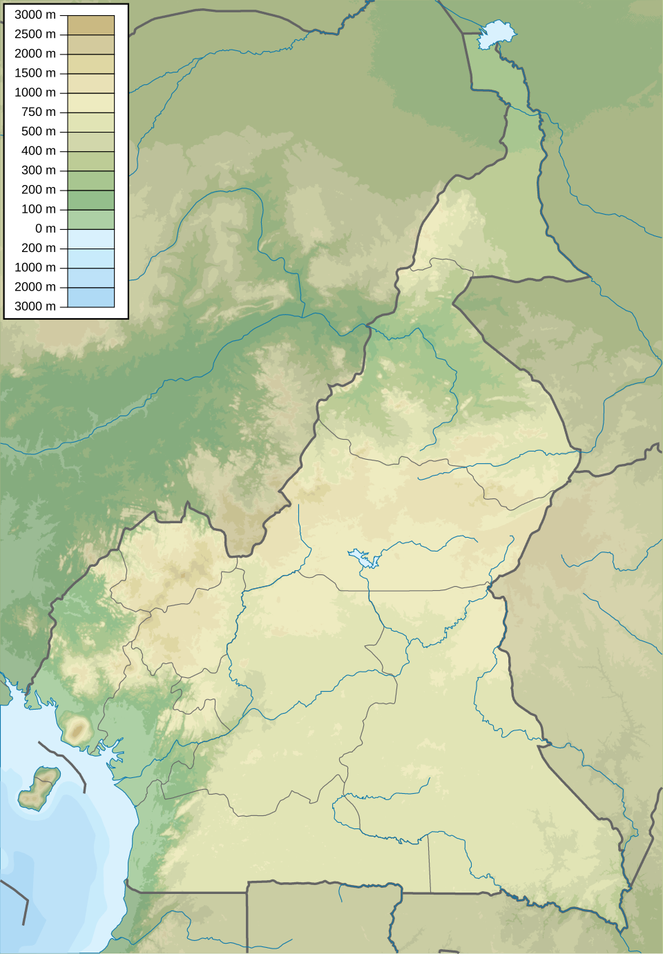
Located at latitude 7.209354 N, longitude 13.585301 E, Chutes de la Vina is a classic tropical waterfall that tumbles over a series of rocky ledges into a clear, emerald pool below. While the exact height of the falls remains undocumented, visitors consistently describe the cascade as “impressive” and “refreshing,” especially after a long trek through the surrounding savannah and forest patches.
Historical & Cultural Significance
The name Vina is believed to stem from local Fulani or Gbaya dialects, reflecting the waterfall’s deep roots in regional oral traditions. Historically, the falls served as a communal gathering spot for nearby villages—providing fresh water, a place for washing clothes, and a natural venue for storytelling evenings under the stars. Though modern infrastructure is limited, the waterfall still holds cultural importance, acting as a living reminder of the close relationship between the Adamaoua people and their natural environment.
Why It Matters
Cameroon is often celebrated for its dramatic volcanic peaks and coastal beaches, yet its interior waterfalls receive far less attention. Chutes de la Vina showcases the biodiversity of the Adamaoua plateau, where savanna grasslands meet pockets of forest, creating habitats for a variety of birds, butterflies, and small mammals. For eco‑travelers, the site offers a low‑impact way to witness this ecological transition while supporting local communities who benefit from responsible tourism.
3. How to Get There
From Ngaoundéré (the Regional Hub)
- Start in Ngaoundéré – The city is well‑connected by air (NGA airport) and by the Trans‑Cameroon railway. Most visitors arrive via a short domestic flight from Yaoundé or Douala.
- Hire a 4×4 or local taxi – The road to Chutes de la Vina is partially unpaved, especially after the rainy season. A sturdy vehicle is recommended. Local drivers familiar with the Bamenda‑Ngaoundéré route often charge a daily rate that includes fuel and a guide.
- Navigate the main road – From the city centre, head east on RN4 toward the village of Vina. After roughly 30 km, you’ll see a sign pointing to the waterfall.
- Turn onto the dirt track – The final 4–5 km is a narrow, scenic track that winds through grassland and occasional mango trees. Keep an eye out for livestock crossing; they are a common sight.
By Public Transport
- Local minibusses (bush taxis) run from Ngaoundéré to Vina village several times a day. Disembark at the village stop, then hire a motorbike (known locally as a “moto”) for the short trek to the falls.
- Note: Public transport schedules can be irregular, especially during market days, so confirm departure times the night before.
GPS & Offline Maps
- Input the coordinates 7.209354, 13.585301 into your GPS device or smartphone.
- Download an offline map of the Adamaoua region (e.g., via Maps.me or Google Maps offline areas) to avoid losing signal on the final stretch.
4. Best Time to Visit
| Season | Weather | Visitor Experience |
|---|---|---|
| Dry Season (Nov – Mar) | Warm, low humidity, minimal rain | Ideal for hiking and photography; the trail is firm and the waterfall flow is steady. |
| Short Harmattan (Dec – Jan) | Slightly cooler evenings, occasional dusty winds | Good for sunrise visits; the mist creates dramatic light effects. |
| Rainy Season (Apr – Oct) | Frequent showers, higher river volume | The cascade is at its most powerful, but trails can become muddy and some access roads may be washed out. |
Recommendation: The dry season (November to March) offers the most reliable conditions for travel, especially if you’re driving a standard vehicle. However, if you crave a more dramatic waterfall display and don’t mind a bit of mud, the early rainy months (April–May) provide a spectacular, thundering flow.
5. What to Expect
The Journey
- Scenic Approach: As you leave Ngaoundéré, the landscape shifts from bustling city streets to open savanna dotted with acacia trees, cattle herds, and occasional traditional mud houses.
- Trail Conditions: The final approach to the falls is a moderately graded dirt path—easy for most walkers but best tackled with sturdy hiking shoes. Expect occasional river crossings; a simple wooden bridge spans the main stream near the viewing platform.
The Waterfall Experience
- Visuals: The water plunges over a series of basaltic rocks, creating a frothy white curtain that glitters in the sun. The pool below reflects the sky, offering perfect mirror‑like photos.
- Sounds: The constant roar of water blends with the calls of tropical birds—especially the vibrant African grey hornbill and various kingfisher species.
- Activities:
- Swimming: The pool is shallow near the edges but deepens toward the center, making it a refreshing dip after a hike.
- Picnicking: Bring a packed lunch; there are natural rock benches and shaded spots under overhanging trees.
- Photography: Early morning light creates rainbows in the mist—ideal for Instagram‑worthy shots.
Amenities
- Facilities: There are no formal restrooms or souvenir shops at the site. Portable toilets are occasionally set up by local guides during peak tourist days.
- Guides: Hiring a local guide is highly recommended. They can share folklore, point out wildlife, and ensure you stay safe on the slippery rocks.
6. Nearby Attractions
After soaking in the falls, extend your adventure with these nearby points of interest (all within a 15 km radius). Most can be reached by the same 4×4 vehicle or a short motorbike ride.
| Attraction | Distance from Chutes de la Vina | Type | Quick Link |
|---|---|---|---|
| [Dam 1] | 4.2 km | Dam | View on Map] |
| [Dam 2] | 12.2 km | Dam | View on Map] |
| [Fountain] | 12.9 km | Fountain | View on Map] |
| [Waterfall 2] | 14.6 km | Waterfall | View on Map] |
| [Dam 3] | 14.8 km | Dam | View on Map] |
Tip: Many of these dams were built for irrigation and hydro‑electric projects. They offer tranquil picnic spots and bird‑watching opportunities, especially during the dry season when water levels recede and expose interesting rock formations.
7. Travel Tips
| Tip | Details |
|---|---|
| Pack Light, Pack Smart | Bring a quick‑dry towel, waterproof shoes, sun protection (hat, sunscreen), and insect repellent. The climate can shift quickly from sunny to misty. |
| Cash is King | Rural vendors and guide services typically accept CFA francs only. ATMs are scarce outside Ngaoundéré, so withdraw enough cash before you leave the city. |
| Respect Local Customs | When visiting villages en route, ask permission before taking photos of people or homes. A friendly greeting in Fulfulde (“Jam na wuro”) is always appreciated. |
| Stay Hydrated | Even in the dry season, the altitude and sun can cause dehydration. Carry at least 2 liters of water per person. |
| Safety First | The rocks around the pool can be slippery. Keep an eye on children, and avoid swimming during heavy rain when currents are stronger. |
| Leave No Trace | Pack out all litter, especially plastic bottles. The area’s natural beauty depends on responsible tourism. |
| Timing for Photography | Golden hour (30 minutes after sunrise or before sunset) gives the waterfall a warm glow and reduces harsh shadows. |
| Emergency Contacts | The nearest health center is in Vina village (approx. 5 km away). Keep the local guide’s phone number handy; mobile coverage is generally good along the main road. |
Final Thought
Chutes de la Vina may not have the fame of Cameroon’s coastal beaches, but its raw, untouched charm makes it a standout destination for travelers seeking authentic nature experiences. From the gentle roar of the water to the surrounding savanna vistas, the waterfall offers a perfect blend of adventure, culture, and serenity.
Plan your trip, respect the land, and let the mist of Chutes de la Vina refresh both body and spirit—your next unforgettable Cameroonian story starts here.
Keywords: Chutes de la Vina, waterfall in Cameroon, Adamaoua travel, Ngaoundéré attractions, Cameroon waterfalls, how to get to Chutes de la Vina, best time to visit Chutes de la Vina, travel tips Cameroon, off‑the‑beaten‑path Cameroon.